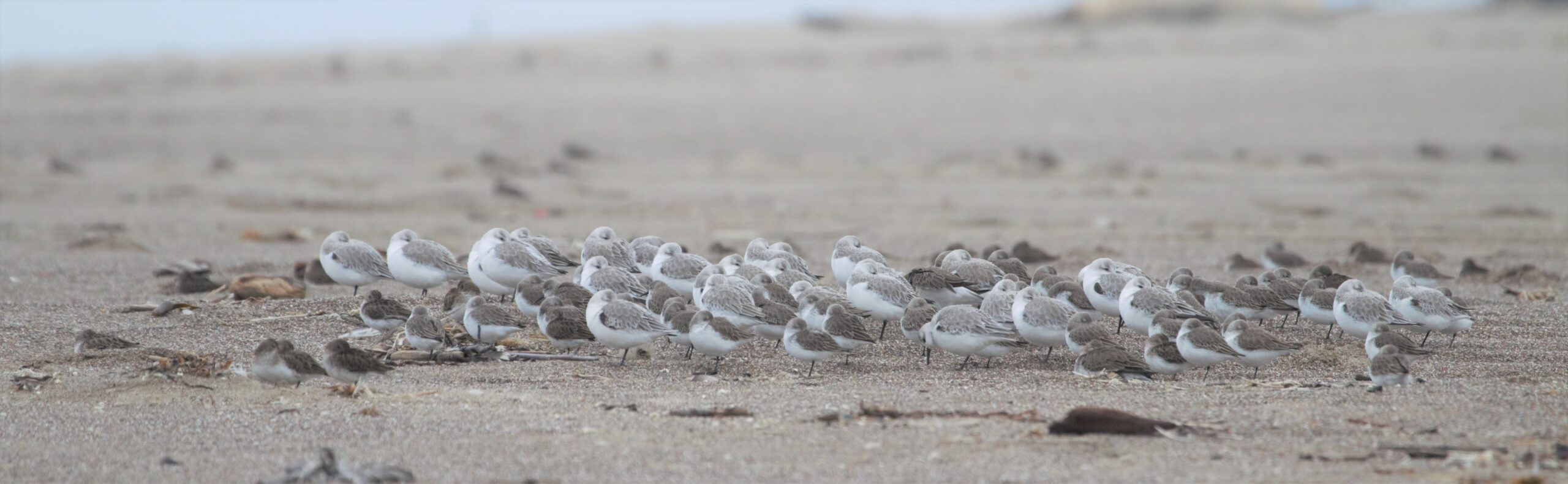
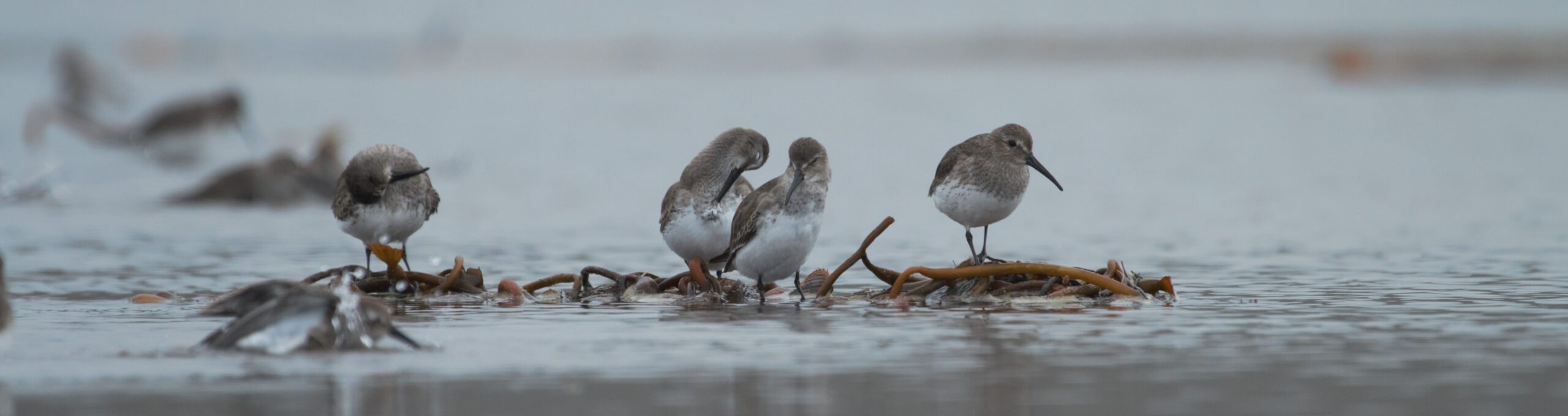
A network of volunteers and biologists monitoring shorebird populations across the Pacific Flyway.
The Pacific Flyway Shorebird Survey and the Migratory Shorebird Project combine to monitor populations of migratory shorebirds across all 13 countries of the Pacific coast of the Americas. Use the Explore data tab above to see survey locations and preview results. The current page can be found here.
Shorebird survey protocols, trainings, datasheets, and data entry applications are available in English and Spanish.
What’s New?
- Our 2022-2023 project update is now available. Click here to see the details.
- There is a new initiative to monitor the shorebird population across interior wetlands and saline lakes of the Intermountain West. Click here for more details on the massive survey effort at the Great Salt Lake in Utah.
Help us count shorebirds! We need eager volunteers. See the Volunteer tab under PFSS for who to contact about participation.
What is The Pacific Flyway Shorebird Survey? A long-term monitoring program, led by Point Blue Conservation Science, that is designed to guide the management and conservation of wintering shorebirds. A vast network of volunteers and professional biologists combine to conduct a survey that provides a snapshot of the Pacific Flyway every year.
What about the Data? Data available online here: Explore Data. Data are stored in the California Avian Data Center. This cross-organizational database is hosted by Point Blue and provides a secure, well-tested platform for storing, managing, analyzing, and visualizing ecological monitoring data.
Questions? Please contact us! Matt Reiter (mreiter@pointblue.org), Mark Dettling (mdettling@pointblue.org), or Blake Barbaree (bbarbaree@pointblue.org).